US and World Advanced Political Classroom Combo Wall Map
https://theclassroomstore.com/products/US_and_World_Advanced_Political_Classroom_Combo_Wall_Map


US and World Advanced Political Classroom Combo Wall Map on Roller with Backboard
Price
Qty
98323 - Each
696.85
ea
Item is non stock and will ship directly from manufacturer.
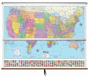
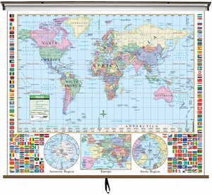
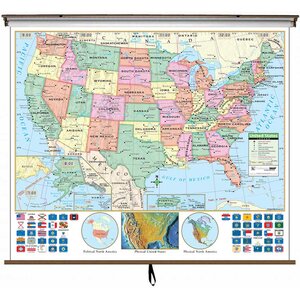
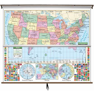
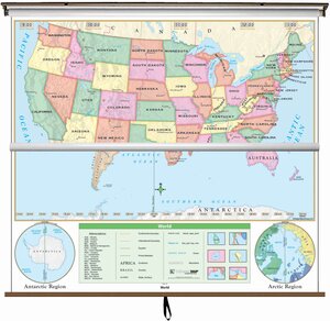
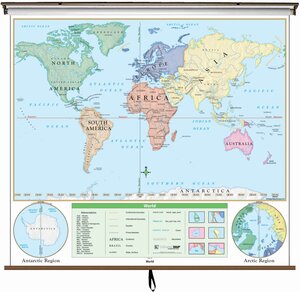
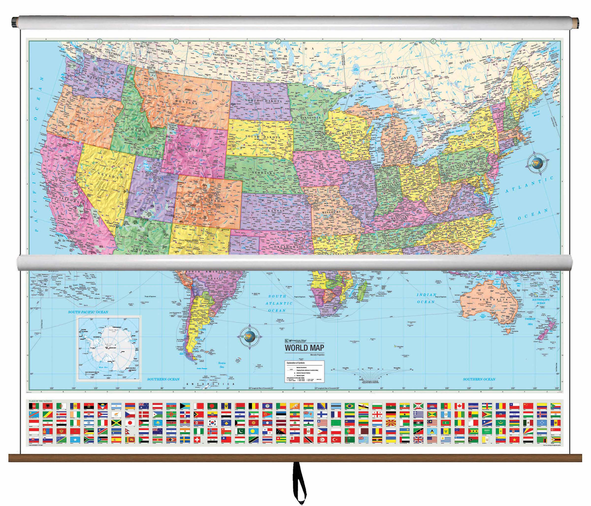
This spring roller includes advanced versions of both the United States and World Political Classroom maps and it’s one of our most popular items. The US and World Advanced Political Spring Roller features a wealth of valuable information like country and state boundaries, capitals, major waterways, and major cities. These brightly-colored maps were created with legibility in mind and include detailed cartography.
The US map identifies state borders, capitals, time zones and features insets of Alaska, Puerto Rico and Hawaii, along with a physical inset map of the US. Images of all 50 states flags are shown along with a locator map showing the country location in North. The World map includes national capitals and 193 country flags.
Map Size: 63″ x 54″
Meets U.S. History curriculum requirements.